I was out strolling along the cracks and crannies of the natural world in Orangeville for a couple of hours at dawn this morning. In this Covid-19 isolation time, the town was — thankfully! — so quiet from a human perspective. So few cars out; the lineup for Timmies near where I live was down from the typical dozen cars wound around the place to one or sometimes none at all. But the trails and stream valleys were often filled with the morning cacophony of bird song and screeching.
The gangs of Grackles and the swirlings of Starlings were especially noisy!
What struck me was that the Common Grackles and European Starlings were still in flocks. Not in pairs carrying nesting material. They were in remarkably large groupings, perhaps hundreds of grackles and several swirls of fifty or more starlings. Why?
I’m wondering if these birds are not quite ready for the frenzy of mating and nesting and the rearing of young? Do they have some sense that the season is still too early, that food sources for nestlings won’t be available for another while, that this is still a period of anticipation, not action? How would we find out? I have not seen any of the chest-swelling of the male grackle as it woos a female. I did see several pairs of starlings leaving the loose flocks of their kind and heading away into clumps of old Manitoba Maples, with their often frequent holes suitable for nesting.
I turned my attention to other birds to see if there were any possible clues. European Starlings, after all, are not native birds, having been introduced into New York City in 1890. That isn’t likely time enough for them to evolve the close adaptation to specific climatic variations from one local to the next. Grackles are native and I expect have a long-evolved climatic adaptation, which may be having an effect this Spring.
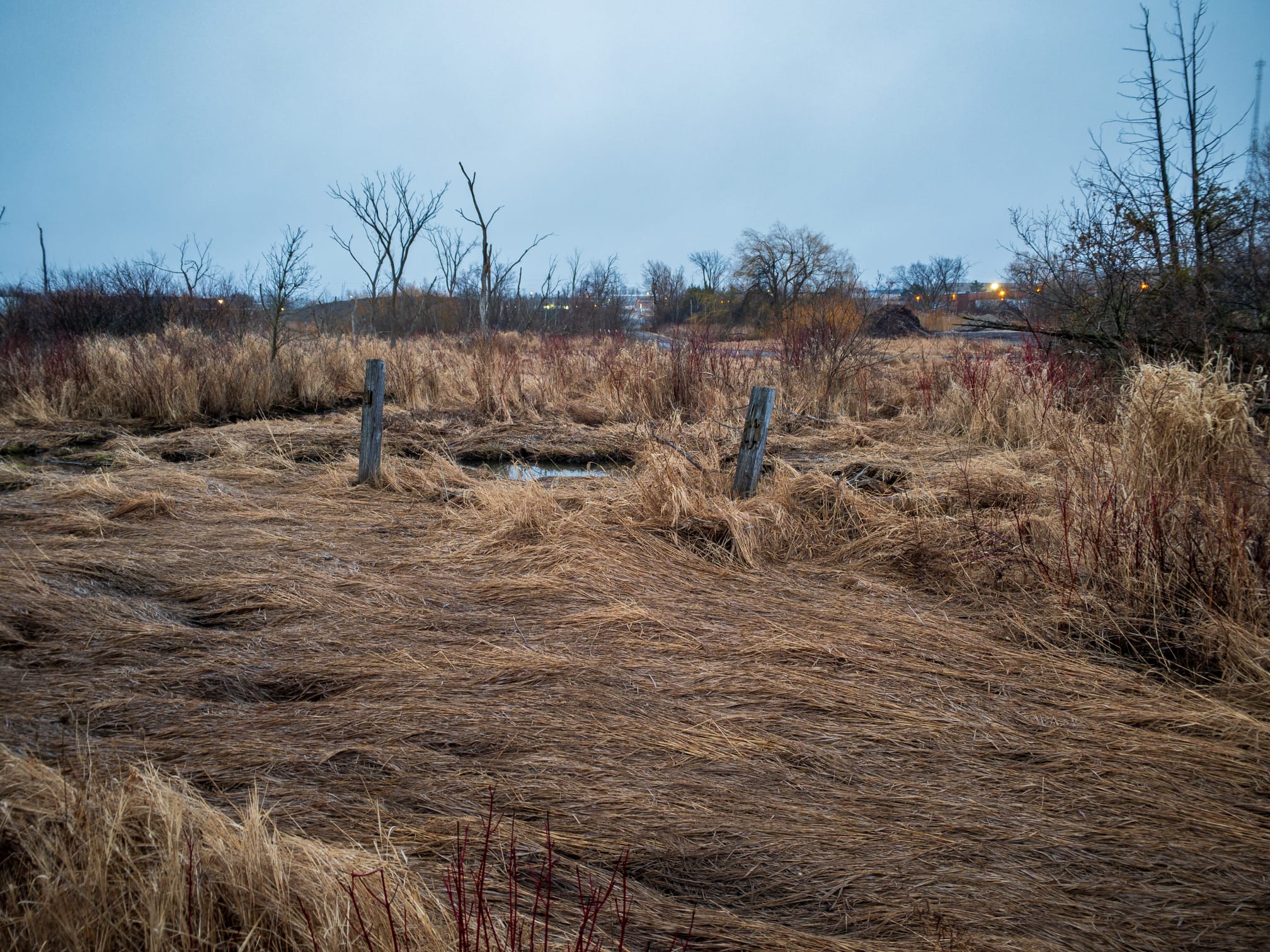
Red-winged Blackbird males were very evident, in some places around storm ponds loudly proclaiming as close as 20 metres apart, calling out to females that they have the best nesting spots. I have not yet seen any female RWBs … but I’m not the best observer … Surely they’re back, and if so, then they area already hiding and possibly building nests. But I didn’t see any evidence of that.
Song Sparrows were also loudly announcing their territories. Almost every singing Song Sparrow was solitary, with only a few flying non-singing sparrows that did not sing when they landed in a bush.
Canada Geese are now definitely paired off, but every pair I saw were both standing. Not one of them sitting on a nest. I saw only a few solitary geese. I’d have expected nesting would have already begun. I didn’t see any evidence.
So as far as birds go, does this Spring seem too early to risk breeding? Is this still a waiting time?
Quick notes:
Other bird sightings of mine this week:
- I heard a flock of Cedar Waxwings before I saw them! This is remarkable for me, because as someone with a long-time hearing loss and even though I’ve been wearing good hearing aids for over 25 years, I’ve never really heard that bird, other than very faintly perhaps a few times. But earlier in the week as I was walking past a wetlands in town, I heard remarkably clear high-pitched calls coming from a small flock of birds. At first, I didn’t pay attention, and then it struck me. I was actually hearing Cedar Waxwings! I just got new hearing aids, and I had asked the audiologist to tune them so that I could better hear the higher frequencies of some bird songs. My new hearing aids work wonders! It’s been a whole week of pleasure to learn what Cardinals and Song Sparrows and … all the birds actually sound like to someone with ordinary ears!
- Just a couple of streets south of downtown Broadway on that same day, I heard and saw a pair of Merlins screaming from the tops of grand old Silver Maples in the backyards of a block of houses. Maintaining more than sufficient physical and social distance, I eagerly pointed them out to several passing dogwalkers, who seemed suitably impressed!
- This morning, I was fiercely croaked at by a low-flying Raven as I left the Indigenous Medicine Wheel Garden on the west side of town. I must look up about Ravens in Anishinaabe culture … It was a solo Raven, whereas in the past several weeks, I’ve been regularly seeing a pair together. Are they already sitting on a clutch of eggs, starting early as bigger owls do, anticipating ahead the huge appetites their juveniles will have and timing so as to take advantage of the hatchlings and feeble-flying young of other birds?